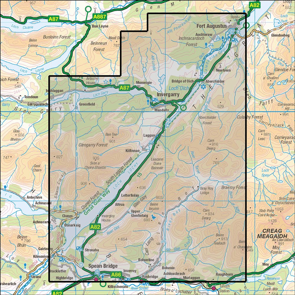
400 Loch Lochy & Glen Roy, Fort Augustus & Spean B Ordnance Survey Explorer Map
Ordnance Survey 1:25,000 scale Explorer maps are perfect for walking, running, hiking, off-road cycling, running and horse-riding. They clearly show footpaths, rights of way and open access land.
With an Outdoor Map Subscription, you can print your maps at home.